Skip to content
Santa Barbara Land Surveyor logo

Santa Barbara Land Surveyor: ALTA, Boundary, Topographic and Construction Surveys for Residential & Commercial Properties

Santa Barbara Land Surveyor has spent more than 30 years measuring, mapping, and defending property boundaries across the South Coast and the Santa Ynez Valley. We handle ALTA/NSPS land title surveys, boundary and property line surveys, topographic surveys, construction staking, lot line adjustments, elevation certificates, and subdivision and parcel maps for homeowners, builders, architects, civil engineers, real estate agents, and attorneys. Our specialty work runs from drone and aerial mapping of large ranch and hillside parcels to expert-witness testimony in boundary disputes.

Every project starts with a free quote and a written scope of work, and you deal directly with the licensed surveyor doing the work rather than a call center. Every map, exhibit, and legal description we produce is signed and sealed by a California Professional Land Surveyor and, where the work calls for it, filed with the Santa Barbara County Surveyor within the 90 days the law allows. Our surveys are performed under California's Professional Land Surveyors' Act, and our title surveys follow the 2021 ALTA/NSPS Minimum Standard Detail Requirements.

Get a Free Estimate

  • Licensed California Professional Land Surveyor
  • 30+ years across Santa Barbara County
  • Free, fixed-fee quotes
  • Hillside, coastal, and estate-parcel specialists
  • Signed, sealed maps filed with the County Surveyor

Property & Boundary Surveys in Santa Barbara, CA
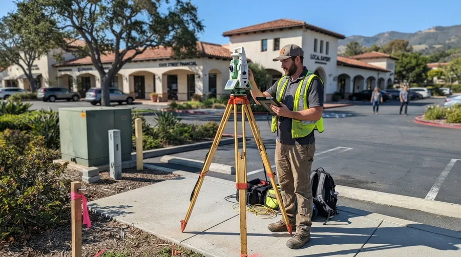
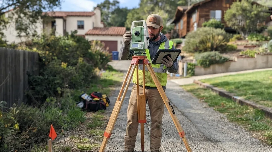
  • Surveyor operating a total station on a tripod at the edge of a commercial property, recording measurements on a field tablet

    ALTA/NSPS Land Title Surveys

    An ALTA/NSPS land title survey is the detailed survey a commercial transaction runs on, prepared to the 2021 Minimum Standard Detail Requirements that ALTA and NSPS adopted jointly. We coordinate directly with the title commitment, plot every recorded easement and exception, resolve the boundary, locate improvements and encroachments, address access, and add the Table A optional items the lender or buyer selects, such as topography, zoning, flood, and parking counts.

    Acquisitions, refinances, and new development along the Highway 101 corridor and in downtown Santa Barbara close on this survey. When it is finished, everyone at the closing table is working from one certified drawing.

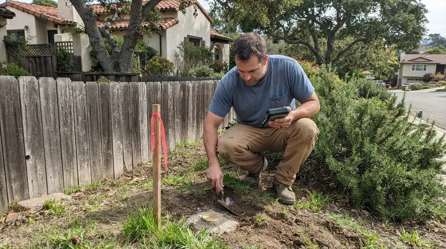
  • Surveyor kneeling at a residential fence line to uncover a brass boundary monument set in concrete, beside a flagged lath marking the corner

    Boundary & Property Line Surveys

    A boundary survey answers the question every property owner eventually asks: where exactly does my land stop and my neighbor's begin. Whether you call it that, a property line survey, or a lot survey, the work is the same. We rebuild the answer from the deed, every prior recorded map, and the physical monuments still in the ground, then reconcile the record against what we find. Where a corner is missing or has been disturbed, we set a new rebar and cap or a witness monument and preserve it under Business and Professions Code section 8771.

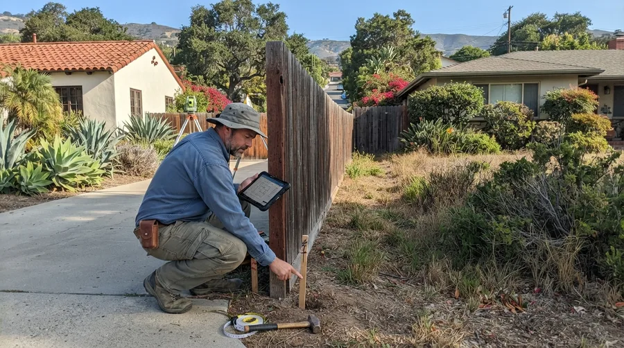
    When the survey turns up a fence, wall, or driveway sitting across the line, we show it on the map so you can deal with it before it becomes a dispute. Many Santa Barbara County parcels trace back to Spanish and Mexican rancho grants and carry old, conflicting descriptions, so the research behind a clean boundary here takes more work than it would in a modern tract. Where the situation requires it, we prepare and record a Record of Survey with the County Surveyor so the results become part of the public record. A homeowner planning a fence and a developer closing on a parcel both walk away with marked corners set where the record and the physical evidence agree.

  • Surveyor checking a plat on a field tablet against a stake set at a shared fence line between two neighbouring properties, with a total station on its tripod behind him

    Lot Line Adjustments

    A lot line adjustment moves the boundary between two existing parcels without creating a new one, and it is as much a permitting job as a survey. We retrace both parcels, write new legal descriptions for each, draw the plat and exhibit map, prepare the application for the City of Santa Barbara or the County, carry it through plan check, and see it to recording.

    Owners on the South Coast use this to square up an irregular older parcel, to fix a house that was built across a line decades ago, or to shift buildable area from one lot to an adjacent one. The whole process runs under the Subdivision Map Act. When it is finished, both owners and their title company have a corrected, recorded boundary they can rely on.

  • Surveyor sighting through a total station along a shared access driveway between two properties, logging the shot on a field tablet

    Easement Surveys & Legal Exhibits

    An easement survey locates and maps the rights that run across a property, whether they already exist or are being created. We plot access, utility, drainage, and shared-driveway easements from the title report and prior maps, or lay out a new one, and we prepare the plat exhibit and legal description that a title company or an attorney records.

    Where an easement and a structure overlap, we sort out the conflict on the map. Flag lots and hillside parcels around Santa Barbara often depend on shared access and utility easements, and a precise exhibit is what removes the ambiguity for good.

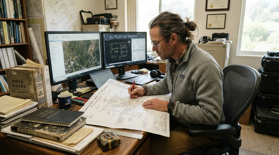
  • Surveyor annotating a parcel map at a desk, working between archived county field note books and parcel mapping on screen

    Boundary Dispute Resolution & Expert Witness Testimony
    When a fence, a title, or a neighbor disagrees about where the line runs, boundary dispute work rebuilds the answer from the full record chain and the physical evidence. We analyze the chain of title, senior and junior rights, and conflicting descriptions, prepare exhibits and a written opinion, and testify as a land surveying expert in mediation, arbitration, or court.

    High land values and old rancho-derived descriptions on the South Coast make it worth resolving these questions precisely rather than splitting the difference. The result is a documented, defensible boundary position that holds up in front of an attorney or a judge.

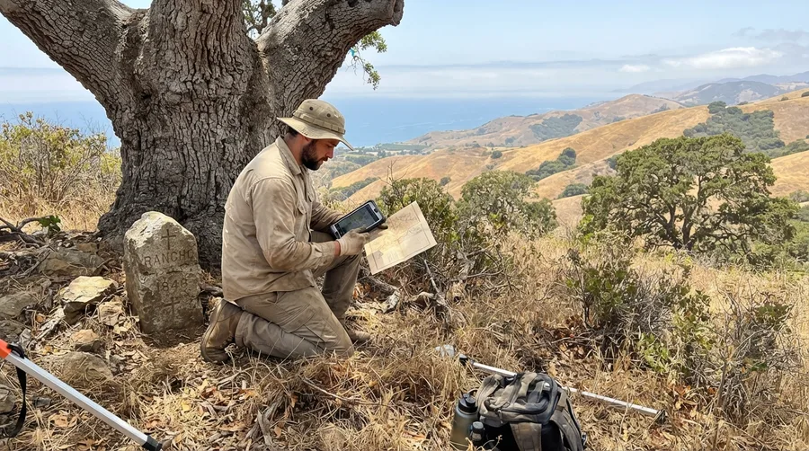
  • Surveyor kneeling beside a carved stone rancho boundary marker under a coast live oak, comparing a historic map against a field tablet above the Santa Barbara coastline

    Spanish Land-Grant & Rancho Boundary Retracement

    Spanish land-grant and rancho boundary retracement means holding a modern boundary that still ties back to a Mexican-era land grant. Much of Santa Barbara County was patented out of those ranchos, and today's parcels still reference the original grant boundaries, the early hand-drawn grant maps, and the first government surveys.

    Retracement is the work of reconciling those historic records with the Public Land Survey System where it applies and with the monuments still in the ground, then holding a line that will stand up. This is genuinely different from surveying a subdivision laid out in the last 30 years, and it is where a surveyor's research and judgment matter most, because the record is old, hand-drawn, and often contradictory.

Design & Construction Surveys for Santa Barbara Properties
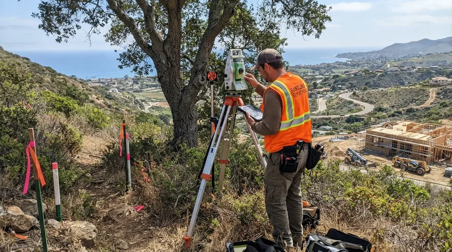
  • Surveyor setting a total station on a hillside above the coast, collecting ground shots across a sloping lot with a framed house under construction below

    Topographic Surveys & Site Mapping

    A topographic survey is the base map your architect or civil engineer designs from. We map existing grade and contours, spot elevations, structures, hardscape, mature trees, visible utilities, and drainage patterns, all tied to the California Coordinate System and a fixed benchmark for vertical control. On steep or heavily planted lots we back the ground crew with drone photogrammetry or laser scanning to capture terrain that is slow or unsafe to walk, and on rural parcels we locate existing wells, septic systems, and leach fields so the design accounts for them.

    Hillside and estate parcels above the South Coast need that level of detail to design retaining walls, driveways, and drainage that will pass plan check the first time. Architects, engineers, homeowners, and developers all design from the same file: CAD, drawn to the standards your team expects, ready to build a grading and site plan on.

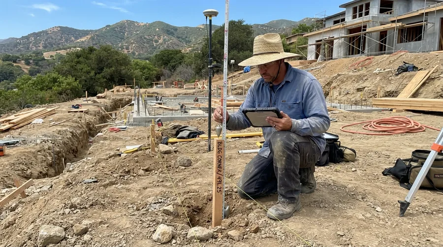
  • Surveyor kneeling over a marked building-corner stake on a hillside foundation site, checking the point on a field tablet against a plumb bob and stringline

    Construction Staking & Site Layout

    Construction staking is what puts the approved plans on the ground, on a single house or across a phased commercial site. Our crews establish the GPS and GNSS control the whole job works from, then set building corners, foundation and footing lines, finish floor and pad elevations, grading, retaining walls, driveways, curb and gutter, parking, and utility lines from the civil plans. We stake sewer, storm, and water lines and road and driveway alignments, and we hand the grading contractor offset stakes, cut and fill sheets, earthwork and stockpile quantities, and machine control models for GPS-guided equipment.

    Before the pour or the framing, a grading and pad certification confirms the built pad matches the plan. On a tight hillside lot with coastal height limits and small setbacks there is very little room for a layout error, so we re-stake as the job moves through its phases and keep every trade working from the same datum.

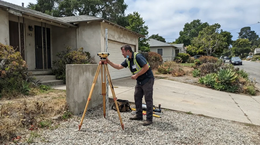
  • Surveyor sighting through an automatic level toward a levelling rod held against a house, taking floor and grade elevations beside the driveway

    Elevation Certificates & Flood Zone Determination
    An elevation certificate is a surveyed record of how a building sits relative to the Base Flood Elevation, recorded on FEMA Form 086-0-33. Lenders and insurers use it to rate flood insurance under the National Flood Insurance Program, and the County uses it for floodplain development permits. We pull the flood zone and Base Flood Elevation from the effective Flood Insurance Rate Map, shoot the structure's elevations, and complete the form.

    If the certificate shows the building actually sits above the mapped flood elevation, the same field data supports a Letter of Map Amendment to take the structure out of the Special Flood Hazard Area, which can end the insurance requirement entirely. Creek corridors and low areas around Santa Barbara, Goleta, and Carpinteria put a lot of parcels in mapped zones, so this is common local work. You walk away with the exact document your insurer or the county asked for.

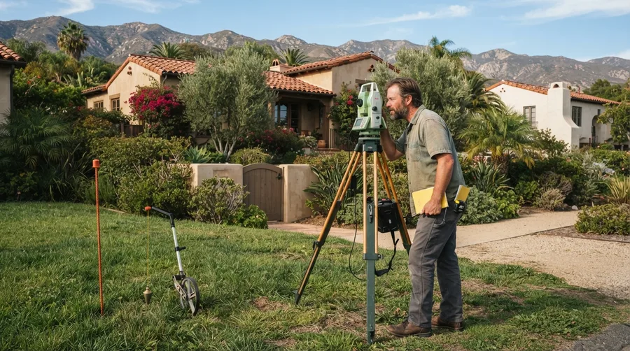
  • Surveyor sighting through a total station across a residential front yard, with a measuring wheel and range pole set out to locate the house, walls and landscaping for a plot plan

    Site Plan & Plot Plan Surveys

    A site plan survey gives the plan checker an accurate, scaled drawing of your parcel instead of a hand sketch. We show boundary lines, existing structures with their setback dimensions, easements, driveways, and enough topography for the permit, drawn to the format the City of Santa Barbara or the County requires for a building permit, an addition, or a remodel.

    The same survey confirms that what you are building meets the setbacks for your zone and sites a pool, a garage, or another accessory structure in a legal spot. Santa Barbara's design review and zoning process expects this level of accuracy, and a permit-ready drawing keeps the application moving instead of bouncing back.

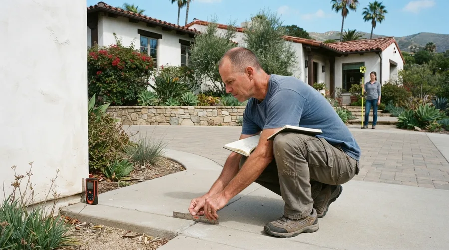
  • Surveyor crouched at the edge of a new concrete walkway, measuring its position against the house with a scale rule and laser distance meter while a crew member holds a range pole at the far corner

    As-Built Surveys

    Our team performs an as-built survey to document what was actually constructed, not what the plans intended. We measure and map structure locations and dimensions, finished elevations, utilities, and hardscape, then compare them against the approved drawings for permit close-out, a certificate of occupancy, a lender or agency sign-off, or a future design.

    County and city final inspections often want an as-built confirming the building landed where the permit said it would, and that matters most near a setback or an easement. That documentation is what closes the permit out cleanly.

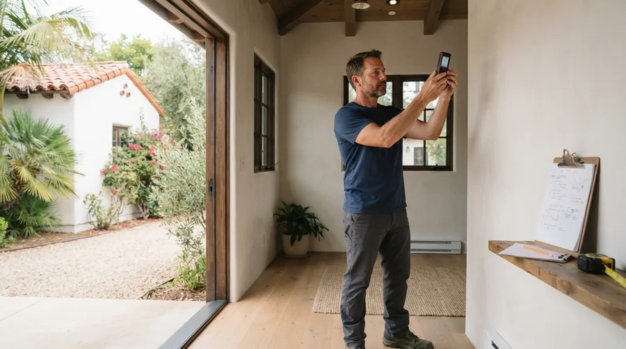
  • Surveyor measuring the interior of an accessory dwelling unit with a laser distance meter, a sketched floor plan clipped to the wall shelf beside him

    ADU & Unpermitted Structure Surveys

    An ADU site plan survey and an unpermitted-structure legalization survey are the same kind of work: a surveyed site plan that gets a structure through the permit counter. For an accessory dwelling unit, we map the boundary, the existing structures and their setbacks, the proposed ADU footprint, the separation distances, the easements, and any slope that affects where the unit can go, all consistent with California's ADU law and the local objective standards.

    For a structure that was already built without a permit, whether an addition, a converted space, a guest house, or an unpermitted ADU, we document its real location, setbacks, height, and site conditions so the City or County can process an as-built permit. Santa Barbara's housing pressure and the state's streamlined ADU rules have made the first common, and decades of South Coast remodeling have made the second just as common. Either way, an accurate survey up front is what keeps the permit moving instead of stalling.

Land Development & Mapping Surveys in Santa Barbara County
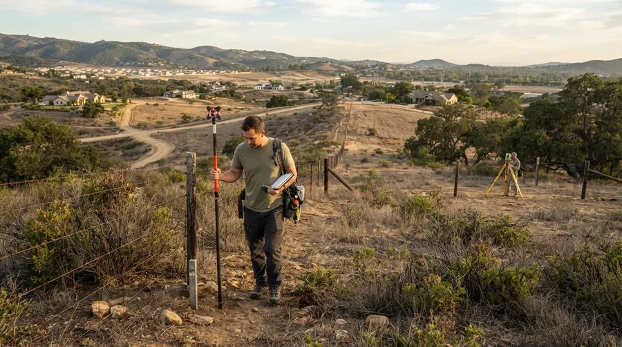
  • Surveyor holding a prism pole at a fence-corner monument on a hillside parcel, with a crew member at the total station behind him and a developed housing tract in the valley below

    Subdivision, Tract & Parcel Maps

    Subdivision and parcel mapping is how raw or underused land becomes sellable, buildable lots under the California Subdivision Map Act. We prepare parcel maps for divisions of four or fewer lots, tract maps for five or more, and condominium and air-space maps for vertical projects, and we carry the work through the full path: boundary survey, tentative map, conditions of approval, improvement plan coordination, final map, monumentation, and recording.

    Infill projects on the South Coast move through City of Santa Barbara or County review with very little developable land to spare, so the map has to be right the first time. The end product is a recorded map that creates real parcels a client can sell or build on.

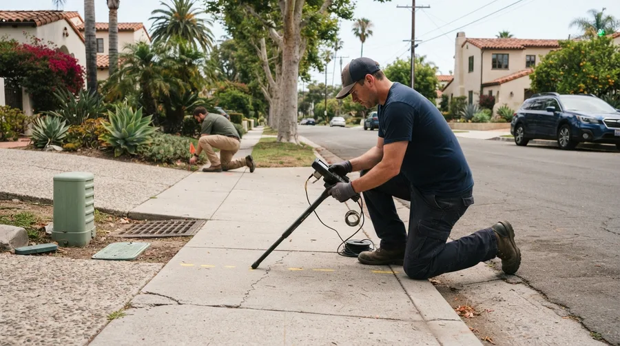
  • Surveyor kneeling at a residential curb with an electromagnetic utility locator, tracing a buried line marked in paint along the sidewalk while a second crew member sets a flag behind him

    Utility & Underground Surveys

    Before a design team draws a line or a contractor breaks ground, a utility survey maps what is already underground. We combine records research, a surface feature survey, and utility locating methods into one picture of the existing infrastructure, tied into the site survey and the GPS control the rest of the project runs on.

    Downtown Santa Barbara and the waterfront carry dense, old, and sometimes undocumented utilities, and knowing where they run is what keeps an excavator from hitting a gas line or a fiber run. Designers get to route around real conflicts instead of discovering them during construction.

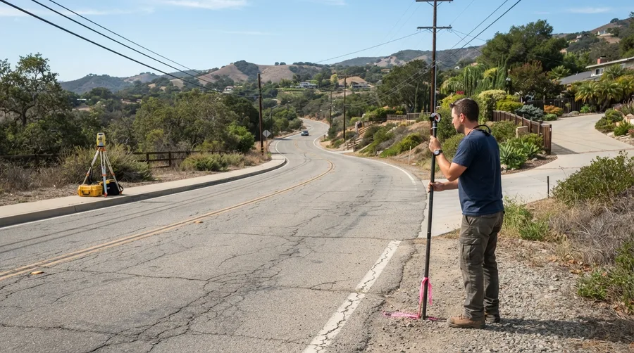
  • Surveyor holding a range pole on a flagged point at the shoulder of a winding hillside road, with the total station set up across the road to measure the alignment

    Route, Corridor & Right-of-Way Surveys

    A route, corridor, and right-of-way survey maps and controls a linear alignment and the public and private rights that run along it. We set centerline and stationing, map existing features, and stake the design alignment for construction on roads, highways, bike and pedestrian paths, pipelines, and utility corridors, and we use drone and mobile methods on long corridors. We also define, map, and describe rights-of-way, road dedications, and access strips, and we support the acquisition and encroachment questions that come with them.

    Agency and infrastructure projects across Santa Barbara County thread through narrow coastal shelves and canyon terrain where the alignment has little room to move. The output is a corridor mapped, described, and staked so the design team and the contractor can build it.

Specialty Land Survey Services for Santa Barbara and the South Coast
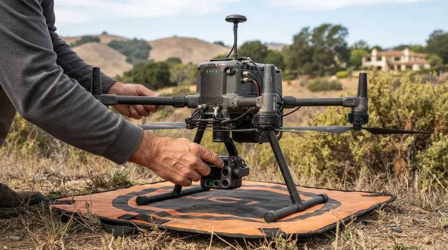
  • Surveyor fitting the camera payload to a mapping drone on its landing pad before a flight over dry hillside terrain

    Drone & Aerial Mapping

    Drone and aerial mapping covers ground that a walking crew cannot reach quickly or safely. We fly under an FAA Part 107 license and produce orthomosaics, dense point clouds, contours, and 3D models, and we use drone LiDAR to read the actual ground surface through vegetation where photo-based methods cannot. Aerial data is tied to ground control and checked against on-the-ground survey points for accuracy.

    Backcountry ranch land in the Santa Ynez Valley and steep foothill parcels above the South Coast are exactly where this pays off, and the mapping comes back dense and accurate faster than a ground crew could deliver it.

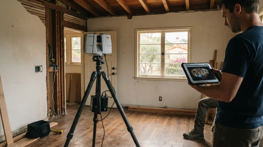
  • Terrestrial laser scanner on a tripod capturing a gutted room mid-renovation, while a surveyor reviews the resulting point cloud of the space on a field tablet

    3D Laser Scanning & Scan-to-BIM

    3D laser scanning captures millions of measured points of a building, a facade, or a site in minutes with a survey grade scanner, all registered to survey control. From that point cloud we produce as-built 2D CAD, 3D models, and scan-to-BIM deliverables in Revit, complete with 2D floor plans and full 3D detail.

    Renovations, historic structures, tenant improvements, and clash detection all depend on knowing the existing conditions precisely. Many of Santa Barbara's older and architecturally significant buildings have no accurate drawings on file, and a scan records them exactly as they stand so the design team can work from reality.

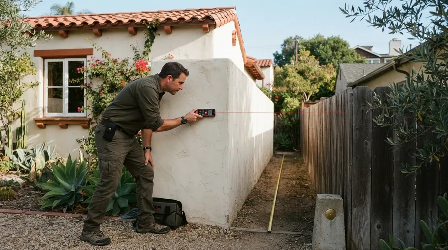
  • Surveyor measuring from a stucco wall across a narrow side yard with a laser distance meter, a tape laid along the setback toward a brass-capped property monument at the fence line

    Height & Setback Certifications

    Measured at framing or at completion, a height certification confirms a structure's ridge or parapet height against the zoning or Coastal Zone limit and its position against the required setbacks. Around Santa Barbara and in Ventura County these are a routine permit condition and a common requirement of California Coastal Commission review, in a way they simply are not in most markets.

    Strict coastal and hillside height limits leave no margin for a roof that ends up a few inches too tall. The certification is the document the planner needs before signing off.

Why We're the Best Land Surveyor in Santa Barbara, CA

  • Three Decades of Santa Barbara County Boundary Experience

    More than 30 years of work in this county means thousands of ALTA, boundary, and topographic surveys behind us, from beach lots in Carpinteria to ranch parcels in the Santa Ynez Valley. We know how the Santa Barbara County Surveyor checks a map, what the City and County plan checkers expect, and how to run down a boundary whose record starts with a rancho. That experience is what keeps a project from stalling over a technicality.

  • Licensed, Sealed, and Filed to Standard

    Every survey is performed by or under a California Professional Land Surveyor licensed through the state Board for Professional Engineers, Land Surveyors, and Geologists, under the Professional Land Surveyors' Act. Every map and legal description is signed and sealed. Records of Survey and Corner Records are filed with the Santa Barbara County Surveyor inside the 90 day window the statute sets. Our title surveys meet the 2021 ALTA/NSPS Minimum Standard Detail Requirements, our subdivision maps follow the California Subdivision Map Act, and our elevation certificates meet FEMA's requirements. We hold a California Land Surveyors Association membership, and we carry professional liability and general liability insurance.

  • Survey-Grade Technology, Field-Checked Work

    We run survey grade GNSS and GPS receivers, robotic total stations, and digital levels, backed by 3D laser scanning and drone LiDAR and photogrammetry for dense terrain and detailed as-builts. Monuments we set are durable, whether that is a rebar and cap, a brass disk, or a witness monument, and they are preserved under Business and Professions Code section 8771. Our data is tied to the California Coordinate System, and our CAD deliverables are drawn to published standards. Every field measurement is checked against the record before it goes on a map.

  • Direct Access and a Fixed Fee

    You get a free, no-obligation quote with a written scope and a flat fee wherever the work supports one. You talk to the licensed surveyor who is doing your survey, not a scheduler and not a rotating crew. We build turnaround around your escrow date or your permit deadline, and we offer rush service when the calendar is tight. You receive digital PDF and CAD files, and we handle the county recording from field work through the recorder's office.

Five reasons Santa Barbara property owners call us first:

  • A licensed California Professional Land Surveyor signs and seals every deliverable
  • More than 30 years of ALTA, boundary, and topographic work across the county
  • Free quotes and a written, fixed fee before any field work
  • Direct line to the surveyor doing the work
  • Recorded maps and county filings handled start to finish

The Santa Barbara Land Surveyor Process

  1. Consultation & Scope

    We start with a conversation about the parcel, what the survey is for, your deadline, and how to get onto the property. Whether you are selling, pulling a permit, building a fence, splitting a lot, or settling a disagreement changes which survey and which deliverable you actually need. We sort that out before anyone quotes a price.

  2. Records & Title Research

    We pull the deed, the title report, every prior recorded map, existing Records of Survey and Corner Records, and the relevant county and Public Land Survey System records. From those we identify the monuments that control the boundary and any conflicts in the record. This research happens before the field crew is scheduled, because it tells them what to look for.

  3. Written Proposal & Fixed Fee

    You get a written scope of work and a flat fee built from the research, not a number over the phone. The proposal spells out what we will deliver, what gets filed, and what the schedule looks like, so there are no surprises once the work starts.

  4. Field Survey

    The crew recovers the existing monuments, occupies control with GNSS and total station, and measures the boundary evidence, improvements, topography, and utilities the scope calls for. On large or brushy sites we add drone or scanning work to capture what a walking crew would miss.

  5. Boundary Analysis & Computations

    Back in the office, we resolve the boundary by weighing the record calls against the physical evidence we found, the senior and junior rights, and any prior surveys. Then we compute the final corner positions and the parcel area.

  6. Map & Exhibit Preparation

    We draft the survey map, the exhibit, or the plat, along with any legal descriptions, to CAD and county standards. The licensed surveyor reviews the drawing, then signs and seals it.

  7. Filing & Delivery

    Where the work requires it, we file a Record of Survey or a Corner Record with the Santa Barbara County Surveyor within the statutory 90 days, and we set the monuments in the field. You receive the signed PDF and the CAD files.

How Long Does a Land Survey Take in Santa Barbara?

A straightforward residential boundary or topographic survey is usually scheduled within one to two weeks, with field work done in a day and the map delivered shortly after. A lot line adjustment or a subdivision map runs longer, often several weeks to a few months, because the map has to clear the reviewing agency's plan check and then get recorded.

A few things stretch a timeline. Heavy brush and steep access slow the field crew. Missing or destroyed monuments mean more time recovering evidence and more research. A deeply conflicted record, common on older rancho-derived parcels, takes longer to resolve. County map check has its own queue, and that queue is outside our control. When your escrow or permit date is firm, tell us early and we will schedule rush field work and prioritize the drafting.

The one fixed deadline is set by statute. A Record of Survey has to be filed with the County Surveyor within 90 days of the field survey being completed, and we build that into the schedule from the start.
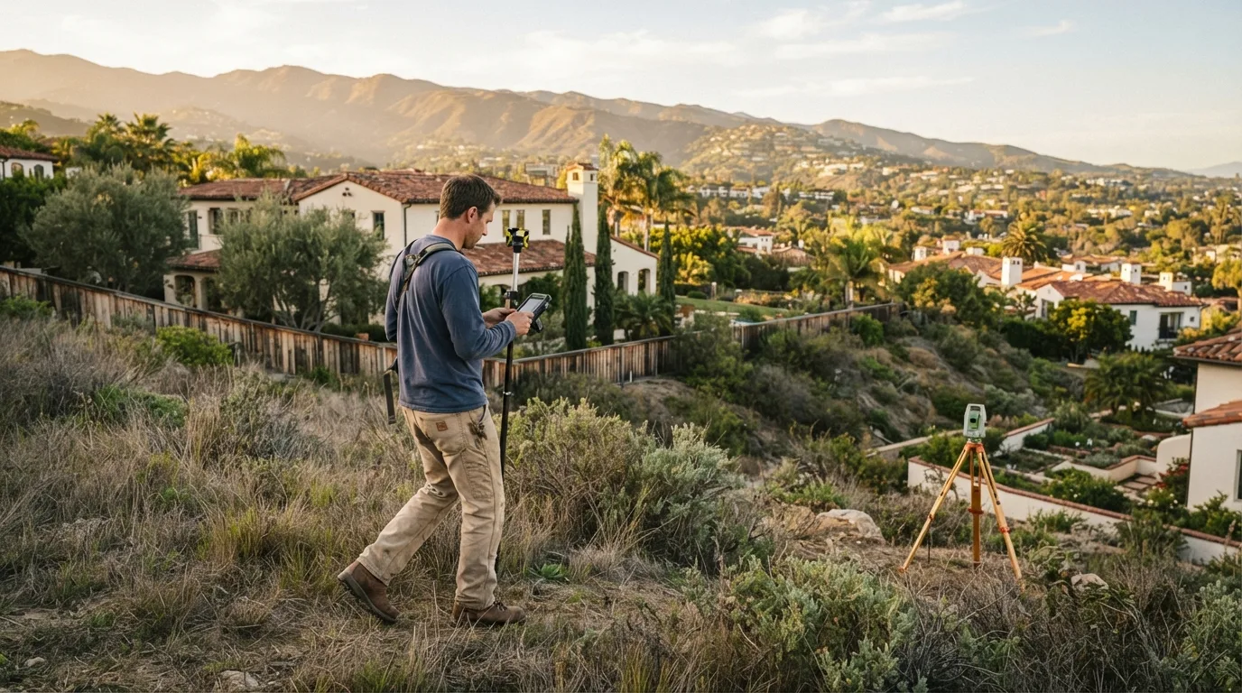
Surveyor walking a brushy hillside above a Spanish-style neighborhood with a GNSS range pole and field tablet, a total station set up on the slope below

How Much Does a Land Survey Cost in Santa Barbara, CA?

Every parcel is different, so the ranges below are a starting point, not a quote. What actually sets your price is the size and shape of the lot, the terrain and vegetation, how many corners are involved, whether the monuments are found or have to be re-set, how deep the record research goes, and the filing fees the county or city charges.

Survey TypeTypical Price RangeWhat Drives the Price
Boundary / Property Line / Lot Survey$1,000 to $3,500, more for large, hillside, or estate parcelsLot size and shape, terrain and brush, number of corners, whether monuments are recovered or re-set, depth of record research
Topographic Survey$1,000 to $5,000 and upSite size, required contour detail, slope and tree cover, whether drone or scanning is added
ALTA/NSPS Land Title Survey$4,000 to $11,000 and upAcreage, number of easements and exceptions to plot, title complexity, and which Table A items the lender requires
Elevation Certificate$450 to $900Structure type, site access, and how straightforward the flood zone and Base Flood Elevation are to establish
Construction Staking$500 to $1,500 per visit; full projects $5,000 to $40,000Number of stakes and elevations, how many trips the build needs, site access, contractor coordination
Lot Line Adjustment$3,500 to $9,000 and up, including new legal descriptions, the exhibit map, and agency processingNumber of parcels, how well the boundaries are monumented, and the reviewing agency's map-check and application fees
Site Plan / ADU Survey$1,000 to $3,500Whether a full boundary survey is required, lot size and topography, and the plan checker's format
Subdivision / Parcel Map$6,000 to $25,000 and up for the survey and mapNumber of new parcels, the tentative-to-final map path, agency conditions, and monumentation

Proudly Serving Santa Barbara and the Surrounding South Coast

We survey throughout Santa Barbara and the communities around it, including Goleta, Montecito, Hope Ranch, Summerland, Carpinteria, Isla Vista, and Mission Canyon, and north into the Santa Ynez Valley for Solvang, Buellton, Santa Ynez, Los Olivos, and Los Alamos. We also take work in Santa Maria, Lompoc, and the adjacent parts of Ventura and San Luis Obispo Counties. A California Professional Land Surveyor license is valid statewide, so if your project sits just outside the area, ask.
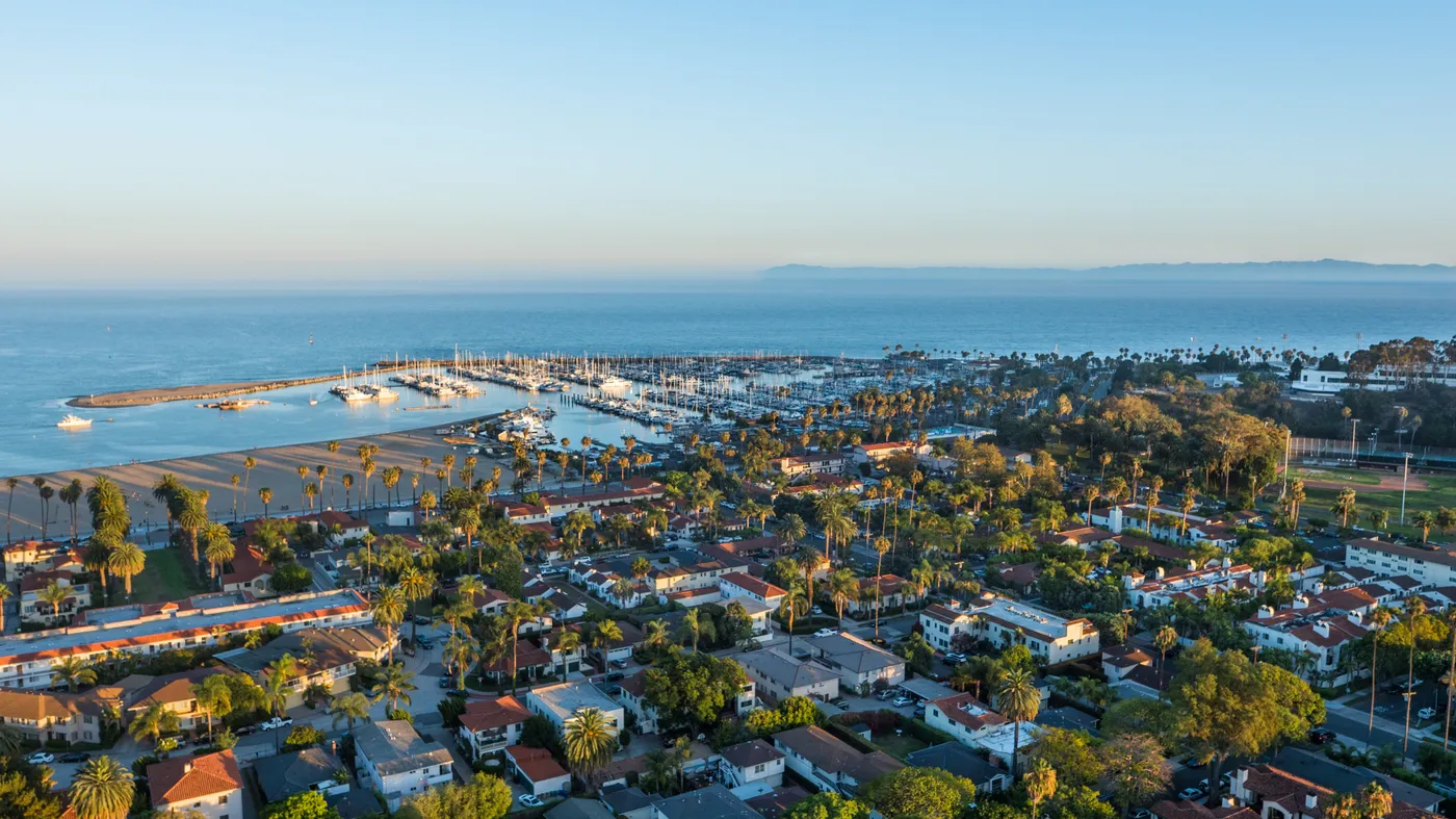
Aerial view over Santa Barbara at golden hour, looking across red-tile neighborhoods and the palm-lined beach to the harbor, with the Channel Islands on the horizon

What Santa Barbara Property Owners Say

  • Dana R.3 weeks ago on
    Santa Barbara Land Surveyor sorted out a boundary that three different old deeds described three different ways. They found the original corners, walked me through what they meant, and set new markers I could actually see. The fence went in exactly where it should have 40 years ago.
  • Michael T.2 months ago on
    We brought them in for the ALTA survey on a commercial purchase downtown and the timeline was tight. They coordinated with the title company directly, hit every Table A item our lender wanted, and delivered on the date they promised. Escrow closed without a hitch.
  • Elena V.4 months ago on
    Our architect needed a topographic survey before she could design the addition on our hillside lot. The crew captured every contour and tree, and the CAD file dropped straight into her drawings with no back and forth.
  • Robert H.7 months ago on
    Santa Barbara Land Surveyor handled our lot line adjustment from the survey all the way through recording, wrote the new legal descriptions, drew the exhibit, and dealt with the county so we did not have to. The whole thing was painless.
  • Karen S.11 months ago on
    I needed an elevation certificate for flood insurance and thought it would be a hassle. It was one visit, and the certificate showed our house sits above the flood elevation, which is going to save us on premiums every year. Santa Barbara Land Surveyor even explained how a map amendment could get us out of the zone entirely.

Land Surveyor Santa Barbara FAQs

  • How much does a land survey cost in Santa Barbara?

    It depends on the survey and the parcel, but here is the range for the common ones:

    • Boundary, property line, or lot survey: $1,000 to $3,500, higher for large, hillside, or estate parcels
    • Topographic survey: $1,000 to $5,000 and up, depending on size and detail
    • ALTA/NSPS land title survey: $4,000 to $11,000 and up, driven by acreage, easements, and Table A items
    • Elevation certificate: $450 to $900
    • Construction staking: $500 to $1,500 per visit
    • Lot line adjustment: $3,500 to $9,000 and up, including legal descriptions and agency processing
    • Subdivision or parcel map: $6,000 to $25,000 and up for the survey and map

    We give you a written fixed fee before any field work starts.

  • What is the difference between a surveyor and a land surveyor?

    In California, land surveyor is a specific licensed profession. A Professional Land Surveyor, or PLS, is licensed by the state Board for Professional Engineers, Land Surveyors, and Geologists and is the only person legally allowed to determine and certify property boundaries, set monuments, and file Records of Survey. The word surveyor gets used loosely for people who do construction layout or mapping without that license. If the work involves your property line, it has to be a licensed land surveyor.

  • How long is a land survey good for?

    A boundary survey does not expire, but it can go out of date. If monuments have been disturbed, if neighboring parcels have been resurveyed or subdivided, or if you are relying on it for a transaction or a permit years later, a lender, a title company, or the county may want an updated survey. For a simple fence project on a parcel that has not changed, an older survey with monuments still in the ground is often fine.

  • Do I need a Record of Survey?

    Not for every job. California law requires a Record of Survey in specific situations, such as when a survey discloses a material discrepancy with prior records, establishes previously unrecorded points, or sets new monuments that others will rely on. A lot line adjustment or a subdivision is handled through a parcel or tract map instead. We tell you at the proposal stage whether your survey triggers a filing, and the fee includes it when it does.

  • Can you survey a hillside or estate parcel with heavy brush?

    Yes. A large share of our work is on steep, wooded, and bluff-top parcels around Montecito, Hope Ranch, and the foothills. We use drone LiDAR and laser scanning to read terrain through vegetation, and we budget the extra field time these sites take into the fixed fee so the number does not move later.

  • What is an ALTA survey and when do I need one?

    An ALTA/NSPS land title survey is a detailed survey built to a standard that ALTA and NSPS set together, coordinated with the title commitment. Commercial buyers, sellers, and lenders require it to close a purchase or a refinance because it shows the boundary, every recorded easement, improvements, encroachments, and access on one certified drawing. If you are buying or financing commercial property, your lender's checklist will call for it by name.

  • Do you handle the county filing, or just the fieldwork?

    We handle all of it. Field survey, boundary analysis, drafting, the licensed surveyor's signature and seal, and the filing of a Record of Survey or Corner Record with the Santa Barbara County Surveyor. You get the recorded document and the digital files.

  • What do you need from me to get started?

    Your address or parcel number, a copy of the deed or the title report if you have one, and access to the property. If you have a prior survey, an old plat, or a plan set, send those too. From there we do the records research and come back with a written scope and fee.
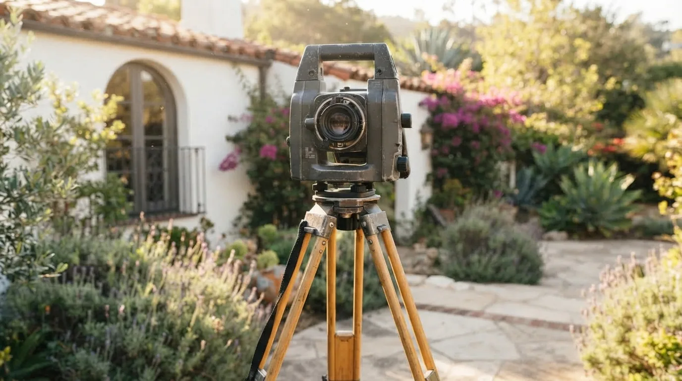
Get Your Santa Barbara Land Survey Started

Whether you need an ALTA survey to close a deal, a boundary or property line survey, a topographic survey for a design team, construction staking, a lot line adjustment, an elevation certificate, or specialty work like drone mapping or expert-witness testimony, it starts the same way, with records research and a written fixed fee before anyone drives a stake. Call or request a quote, and you will be talking to the licensed surveyor who does the work.

Call (805) 691-0076